Are You Taking Advantage of Florida’s Permanent Reference Network?
The Florida Department of Transportation (FDOT) recently updated the receiver technology of the Florida Permanent Reference Network (FPRN), their extensive statewide GPS network. Yet, many potential end-users aren’t utilizing the free service. This taxpayer-funded platform has evolved into one of the most robust and consistent network option available. So, why aren’t consumers taking advantage of this opportunity?
Common Reasons:
- Lack of awareness that a quality free service exists.
- Frustrating experience from an early version of the platform.
- Currently using a paid service from another vendor.
- FPRN’s required use of a cellular or internet connection.
Beard Technology Solutions, the Leica Geosystems’ dealer for the states of Florida and Alabama, can address all these concerns and routinely provides assistance for users to get connected and comfortable with the FPRN service.
“In most situations, contractors and engineers who log onto the FPRN network quickly realize that the network options exceed the needs for the task they are trying to complete,” said Colin Harrison, Panhandle Area Territory Manager, with Beard Technology Solutions. “We’ll help with the setup, configuration and training to get the most out of this fantastic resource.”
How It Works:
End-users can receive GPS corrections within a few hundredths of a foot once they are within a 14-kilometer radius for any of the FPRN’s 100+ network stations. This level of accuracy is regularly achieved by logging into one the “single-point” baseline of one of the FRPN stations and performing a localization with survey control.
This method of receiving a correction source is preferred because it often eliminates the need for a base station. The user can dial into a specific reference station by using a unique IP address and port number. Assuming that the signal is consistent and can perform regular scans, the network GPS is sufficient. If the signal isn’t detected or if a user is unsure of the reference station’s antenna type, a simple elevation adjustment can be made after logging into survey control.
The FPRN functions will work on any data collector and/or rover that has network GPS capability. The system is maintained by FDOT specialists and is continuously optimized to ensure the most advanced technology is available. The FPRN has a step-by-step guide to help you create an account and get started.
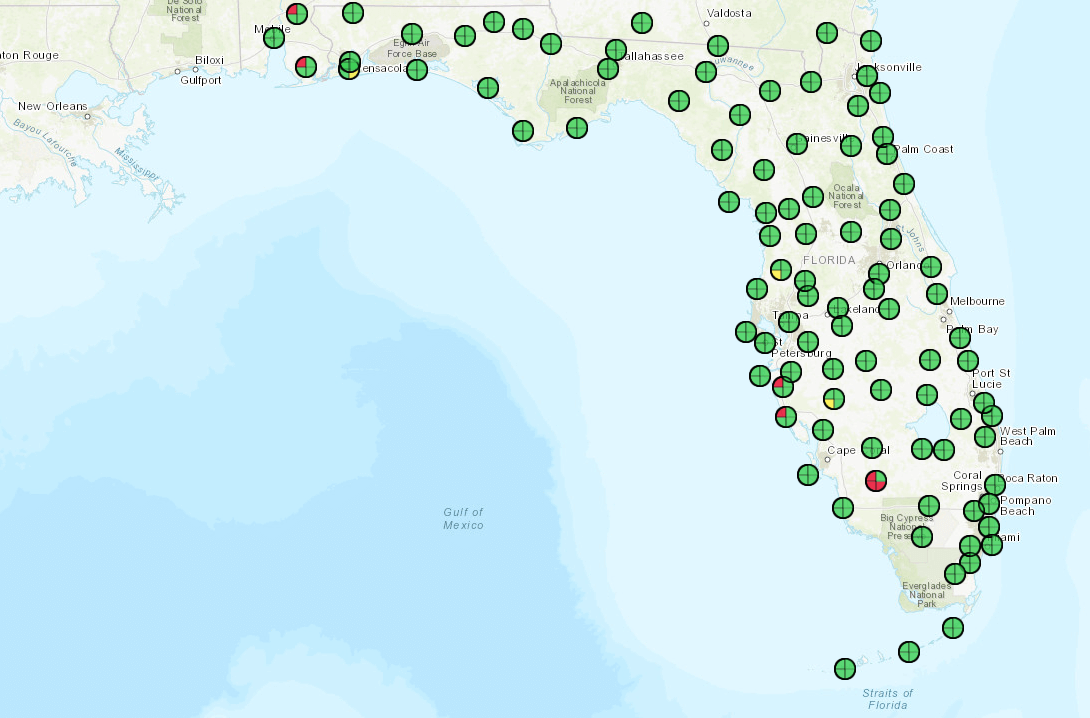
Current FPRN status can be checked any time by visiting myfloridagps.com/DMap/.
Real World Applications
CEI firms such as HNTB Corporation and VIA Consulting Services utilize the FPRN to assist with their construction inspections and workflow.
Both companies use Leica iCON iCG70T Tilt rovers with iCON Site software. The inspector loads an alignment file in the tablet and logs station and offset data. This data connects to the office through a telematic platform, such as Leica’s ConX, to allow project details to be viewed and shared in the office or the field.
“We find great value in utilizing the FPRN network for our work in verifying contractors’ site locations and elevations with a survey rover,” said Thomas W. Woods, DBIA, P.E., with HNTB. “The accuracy – which is typically within an inch – and the ease of utilizing a rover connected to the FPRN network allows us to verify the contractor’s layout and initial work prior to final construction.”
Additionally, Leica’s surveying wizard software provides volume calculations, surface-to-surface comparisons and other metrics that can identify efficiencies daily. Reports can be automatically generated and scheduled for regular distribution.
Beard Technology Encourages Users to Take Advantage
Most technology vendors provide subscriptions to a network service for the state of Florida. Beard Technology Solutions has found this to be unnecessary and encourage users to utilize Florida’s robust free network service. Our team will ensure that users are comfortable with the software while offering additional support as needed. Their Ocala location offers classroom training and is a certified Leica Geosystems repair facility.
Recently, the FPRN network hardware was upgraded to best-in-class, high-end GR-50 and GR-30 Leica Geosystems receivers. These will provide corrections data to any brand of rover. In addition, the FPRN has added L5, Galileo and BeiDou Constellation access to their network, which has led to a significant increase in performance and results on the ground.
To maximize the benefits of these FPRN functions, it’s important to pair them with modern rover equipment. For example, a 10-year-old rover will produce less desirable survey results and may not support some of the advanced features available on today’s network.
At Beard Technology Solutions, our goal is to continuously improve the efficiency and accuracy of technology for our customers. We believe the FPRN is an important resource and key component to streamlining projects and our team provides support throughout the state of Florida. It’s our mission to help contractors and construction engineering firms maximize their technology investments – from the estimation and planning phase of a project all the way through documentation and completion.
Our customers who invest and stay current with construction technology see a faster ROI on their investment and can complete projects more efficiently – saving both time and money.
For more information on incorporating FPRN or updating the construction technology of your projects, please contact Beard Technology Solutions. We will discuss the best options for your needs and can set up a demonstration with your team.
Be sure to visit our booth during the FTBA Conference, Feb. 7-8, 2023, in Orlando, FL.
Ready to Learn More? Let's Talk.
Interested in learning more about Florida’s Permanent Reference Network or one of our other products? Please contact us and one of our representatives will follow up with you shortly.